
On Saturday, a powerful magnitude 6.1 earthquake struck the southern region of Java, Indonesia’s main island. The quake’s epicenter was located 102 kilometers (63 miles) south of Banjar city, at a depth of 68.3 kilometers (42.4 miles), according to the U.S. Geological Survey (USGS).
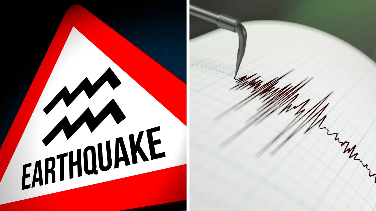
Indonesia Hit by 6.1 Magnitude Earthquake
Impact on Major Cities The tremors were felt across several cities in West Java, Yogyakarta, and East Java provinces. High-rise buildings in the capital city of Jakarta swayed for approximately one minute, while two-story homes in Bandung, the provincial capital of West Java, and Jakarta’s satellite cities of Depok, Tangerang, Bogor, and Bekasi experienced strong shaking.
No Immediate Reports of Casualties or Significant Damage As of now, there have been no reports of injuries or substantial property damage resulting from the earthquake. Indonesia’s Meteorology, Climatology and Geophysical Agency (BMKG) has warned of potential aftershocks but did not issued a tsunami warning.
Seismic Activity in Indonesia
Indonesia’s Seismic Activity Indonesia, an archipelago nation with a population of 270 million, is highly susceptible to seismic activity due to its location on the Pacific “Ring of Fire,” a region characterized by major geological faults. The country has a history of devastating earthquakes and tsunamis.
In 2022, a magnitude 5.6 earthquake struck Cianjur city in West Java, claiming the lives of at least 602 people. It was the deadliest earthquake in Indonesia since the 2018 Sulawesi quake and tsunami, which resulted in more than 4,300 fatalities. The 2004 Indian-Ocean earthquake and tsunami, one of the most catastrophic natural disasters in recent history, claimed the lives of more than 230,000 people across a dozen countries, with the majority of casualties in Indonesia’s Aceh province.
Five Biggest Earthquakes in Indonesia
| Date | Location | Magnitude |
|---|---|---|
| December 26, 2004 | Off the west coast of northern Sumatra | 9.1 |
| March 28, 2005 | Northern Sumatra | 8.6 |
| February 1, 1938 | Banda Sea | 8.5 |
| November 11, 2008 | Sulawesi | 7.7 |
| August 5, 1968 | Sulawesi | 7.7 |
Sources:
- U.S. Geological Survey (USGS)
- Indonesia’s Meteorology, Climatology and Geophysical Agency (BMKG)
- National Centers for Environmental Information (NCEI)
As the situation unfolds, authorities continue to assess the damage and monitor for any additional seismic activity in the region.