
The need for high-quality satellite images has greatly increased in recent years across different industries, such as city planning and environmental supervision, where detailed Earth photos are invaluable for various purposes, such as decision-making and research. This need is driving advancements in the techniques and tools used to obtain these high-resolution satellite images.
The Basics of Satellite Imaging
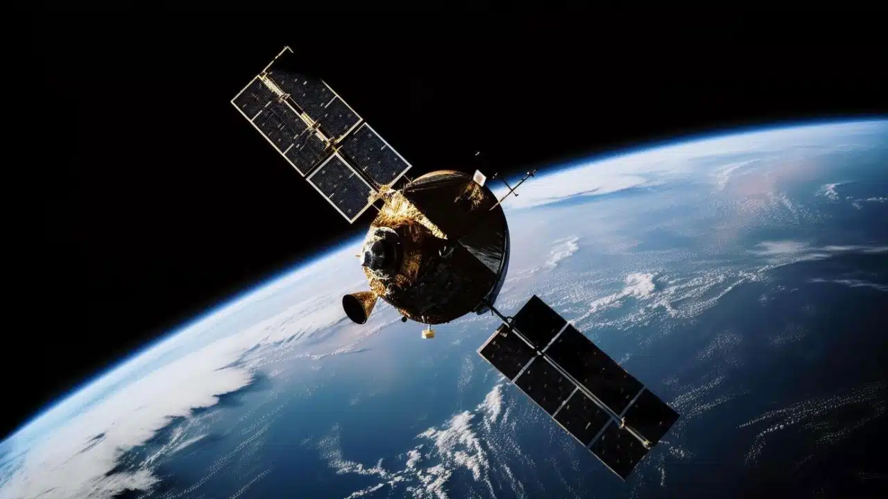
Satellites orbiting the Earth act as assets for capturing images from space. These devices are equipped with state-of-the-art sensors that can detect light and other forms of electromagnetic waves. By gathering this information, satellites can generate images of the Earth’s surface. The quality of the Hi Res satellite imagery largely depends on the sophistication of the sensor technology used. An improved resolution results in more detailed images, which are crucial for precise analysis.
How Orbits Affect Image Quality
The path a satellite follows plays a significant role in the quality and types of images it can capture. Satellites in Low Earth Orbit (LEO), hovering at distances ranging from 180 to 2,000 kilometers above the Earth’s surface, provide intricate visuals due to their proximity to the surface. These satellites complete one orbit around the Earth approximately every 90 minutes, allowing for frequent and timely image refreshes. Conversely, geostationary satellites remain stationary at an altitude of 35,786 kilometers, offering less detailed perspectives, which are ideal for monitoring overall weather conditions and large-scale natural events happening on Earth.
Advanced Sensor Technology
Capturing high-quality images demands sensors capable of translating light and electromagnetic signals into digital data. Multispectral sensors go a step further by collecting data from various wavelengths to provide a more comprehensive view of the Earth’s surface. Hyperspectral sensors excel in this by capturing hundreds of wavelengths, allowing them to identify subtle distinctions in vegetation health, soil composition, and water quality. The selection of sensors depends on the intended use of the imagery.
Image Processing and Enhancement
Once the data reaches Earth, it undergoes a series of transformations to become accessible images. This refining process includes correcting distortions and enhancing sharpness, as well as adjusting colors to match their natural appearance. Adjustments like orthorectification counteract distortions caused by the curvature of the Earth and the movement of the satellite. Another technique, called image fusion, combines data from different sensors to create a more detailed image. These methods ensure that end users receive clear and accurate visual representations.
Applications of Satellite Imagery
High-quality satellite images have a wide range of applications. Farmers use them to monitor crop health and optimize irrigation practices; city planners rely on them to design eco-friendly urban spaces; during disaster response, they help assess the extent of damage and coordinate relief efforts; and environmentalists depend on these images to monitor deforestation and habitat loss. The diverse uses of satellite imagery highlight its importance in addressing global challenges.
Challenges in Capturing High-Resolution Images
Despite significant advancements in technology, capturing clear and detailed satellite images still presents challenges. Atmospheric factors, such as clouds and haze, can obscure the view, leading to a decrease in image quality. Additionally, the vast amounts of data generated by satellites require effective storage and processing solutions. It is essential for researchers and engineers to continue developing technologies that can address these challenges.
Future Developments in Satellite Imaging
Advancements in satellite technology hold the potential for even higher-quality images with enhanced resolution. As sensors shrink and data processing methods become more efficient, we can expect more detailed imagery that will become more accessible and commonplace. Private companies are continuing to invest in satellite technology, expanding its capabilities and applications, which will further enhance the usefulness of satellite imagery in the near future.
Conclusion
High-quality satellite images are essential for effectively understanding and managing our planet. They serve a variety of purposes, from capturing detailed views of urban areas to tracking environmental changes. The technology behind these images is continuously advancing, promising even more practical and impactful results in the years to come. Understanding the complexities of satellite imagery provides valuable insights into how these visuals shape our modern world.