
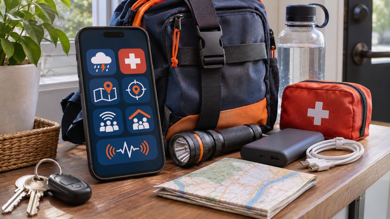
An emergency is a bad time to discover that an app needs an account, location permission, or a large download. The most useful emergency apps are the ones you install, configure, and test while everything is calm.
The eight apps below cover different needs, including official alerts, first aid, offline navigation, precise location sharing, family coordination, and earthquake warnings. US readers can use the full list. Readers elsewhere should replace FEMA and MyShake with official apps recommended by their national or local emergency agencies.
Apps are only one part of preparation. A family digital emergency kit can also keep contacts, medical summaries, meeting points, and essential documents accessible when a phone or internet connection fails.
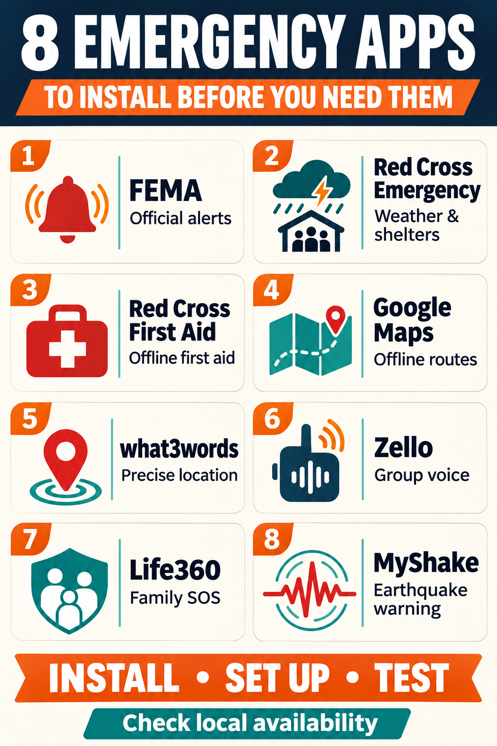
Emergency Apps at a Glance
| App | Best use | Works without internet? | Main limitation |
|---|---|---|---|
| FEMA | Official US alerts and disaster resources | Live features require data | US-focused |
| Red Cross Emergency | Weather alerts, preparedness, and shelters | Some guidance is preloaded | Live alerts and maps require data |
| Red Cross First Aid | Step-by-step first-aid guidance | Core content works offline | Cannot replace practical training |
| Google Maps | Saved maps and evacuation routes | Offline driving works in downloaded areas | No live traffic or several offline route types |
| what3words | Describing a precise location | Can identify a three-word address offline | Sharing the address requires a communication channel |
| Zello | Push-to-talk group communication | No | Requires Wi-Fi or mobile data |
| Life360 | Family location, SOS, and crash alerts | No | Some response features require a paid plan |
| MyShake | West Coast earthquake warnings | Alert delivery requires connectivity | Warnings limited to California, Oregon, and Washington |
Before adding new apps, configure your phone’s built-in safety tools. Add emergency contacts, enter essential medical information, enable government alerts, and learn the Emergency SOS shortcut. Supported devices may also provide satellite communication when cellular service is unavailable. Editorialge’s guide to satellite messaging on iPhone and Pixel explains how these features work.
1. FEMA for Official Alerts and Disaster Resources
The FEMA app is a sensible starting point for people living in the United States. It provides weather and emergency alerts for up to five selected locations. You can monitor your home, workplace, a child’s school area, or the city where an older relative lives.
The app also includes preparedness information, shelter locations, Disaster Recovery Centers, and access to disaster-assistance resources. This makes it useful before, during, and after hurricanes, floods, wildfires, tornadoes, and other major events.
Add the locations that matter, allow notifications, and review the guidance for hazards common in your area. Keep Wireless Emergency Alerts enabled on the phone as an additional official warning channel.
2. Red Cross Emergency for Weather and Shelter Information
The American Red Cross mobile apps include a dedicated Emergency app. It delivers National Weather Service alerts, displays live weather maps, and helps users find open Red Cross shelters and service locations.
The app also offers short guides for preparing for common hazards. It is available in English and Spanish and includes accessibility features. Some guidance is preloaded, while current alerts, maps, and shelter information need connectivity.
Choose the hazards and locations you want to monitor. Open the shelter map before an evacuation becomes necessary, so you already understand where the information appears.
3. Red Cross First Aid for Immediate Care Guidance
The Red Cross First Aid app provides simple instructions for emergencies such as severe bleeding, burns, allergic reactions, choking, and cardiac arrest. It also includes learning materials, quizzes, a CPR metronome, and tools for locating nearby hospitals.
Its core safety content is preloaded, allowing users to access the instructions without cellular reception or an internet connection. That makes it particularly valuable during storms, power outages, outdoor trips, and other situations where a search engine may be unavailable.
Install the app, open the main emergency sections, and check them again in airplane mode. The app can help someone follow basic steps while professional assistance is on the way. A certified first-aid and CPR course provides the practical skills that a screen cannot teach.
4. Google Maps for Offline Evacuation Routes
Cell towers can become overloaded or damaged during a large emergency. Google Maps lets users download selected areas before connectivity disappears.
A downloaded map can provide offline driving directions when the complete route falls within the saved area. Offline mode does not include walking, cycling, or public transport directions. Drivers also lose live traffic information and alternative routes.
Download maps covering your home, workplace, nearby hospitals, family meeting point, and at least one possible evacuation destination. Test a complete route with mobile data and Wi-Fi switched off.
Editorialge’s comparison of offline map and translation apps also covers Apple Maps, Organic Maps, OsmAnd, and HERE WeGo. One of those may provide a better backup for walking, cycling, or outdoor travel.
5. what3words for Describing a Hard-to-Find Location
Street addresses are often inadequate on hiking trails, rural roads, beaches, large parks, and industrial sites. what3words gives a location a short three-word address that can be read to another person.
The app can identify the three-word address through the phone’s GPS without an internet connection. The map and sharing functions need data. The app also does not contact emergency services by itself. You still need a call, text, radio operator, or another working communication channel.
Acceptance varies among emergency services. Check whether dispatchers in your area use what3words. Learn how to display your current address, test the feature outdoors, and save standard latitude and longitude coordinates as a second location format.
6. Zello for Push-to-Talk Group Communication
Zello provides internet-based push-to-talk communication. Families, volunteer groups, neighborhood teams, and response organizations can use it to exchange short voice messages through private contacts or group channels.
Recorded voice messages can be easier to manage than repeated calls when several people are coordinating supplies, checking households, or sharing updates. Users can also share their location with a contact or channel.
Zello requires cellular data or Wi-Fi. It will stop working during a complete network outage. Create accounts in advance, add trusted contacts, allow microphone and notification access, and establish a private family channel. Use public channels carefully unless a recognized response group manages them.
7. Life360 for Family Check-Ins and SOS Alerts
Life360 can share family locations and send an SOS alert to Circle members and designated emergency contacts. The free plan can send app notifications to Circle members and text alerts to emergency contacts.
Eligible paid plans add emergency dispatch in supported countries. The app also offers crash detection, although this depends on cellular signal, battery level, location access, motion permissions, and power settings. The system may miss some collisions.
Add emergency contacts and use the practice SOS function before relying on it. Every family member should understand what location information is shared and who can see it.
Drivers may also want a separate plan for recording what happened after everyone is safe. Editorialge’s guide to apps for documenting a car accident scene and injuries covers photographs, notes, reports, and document storage.
8. MyShake for West Coast Earthquake Warnings
MyShake delivers ShakeAlert-powered earthquake warnings in California, Oregon, and Washington. Ground sensors detect an earthquake after it begins and estimate where strong shaking may occur. The app may then warn users before that shaking reaches their location.
The available warning time depends on distance from the earthquake. Some users may receive several seconds to act. People close to the source may feel movement before or around the time an alert arrives.
Enable notifications and the required location setting. Learn the “Drop, Cover, and Hold On” response so an alert leads to immediate action.
Some Android phones also provide a separate earthquake-alert system in supported countries. Editorialge has explained how Android phones contribute to earthquake detection and warnings. Check the current safety settings and regional availability on your own device.
How to Prepare Emergency Apps Before a Crisis
Downloading an app is only the first step. Complete these checks while you have reliable power and connectivity:
- Install every app from its official developer or verified app-store listing.
- Create any required accounts and use a strong, unique password.
- Add locations, emergency contacts, and family members.
- Grant the permissions required for the features you plan to use.
- Download offline maps and safety information.
- Test offline functions in airplane mode.
- Use a practice mode for SOS features when one is available.
- Confirm that critical alerts can sound through your usual Focus or silent settings.
- Update the apps and downloaded maps regularly.
- Keep a charged power bank and written emergency numbers with your physical supplies.
Permissions should receive the same attention as functionality. Review location, microphone, contacts, and notification access when you secure your smartphone and protect its data. Avoid placing a genuine emergency call while testing an app.
Prepare the Phone and the Household
Emergency apps can warn you, guide basic care, preserve navigation, or help family members coordinate. Their value depends on settings, connectivity, battery power, and regional coverage.
Install the apps that match the risks where you live. Test every critical function, then build physical backups around them. A broader extreme-weather preparedness plan should also include power, water, essential medicine, paper contacts, and a battery-powered radio.