

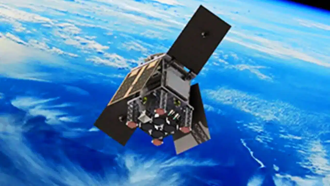
The United Kingdom has cemented its position as a leader in space-based climate science with the successful launch of HydroGNSS, a groundbreaking twin-satellite mission that marks the European Space Agency’s inaugural Scout programme deployment. The satellites lifted off on 28 November 2025 aboard a SpaceX Falcon 9 rocket from California’s Vandenberg Space Force Base, embarking on a mission to revolutionize how scientists monitor Earth’s water cycle from space.
A New Era of Agile Space Missions
HydroGNSS represents a paradigm shift in how space agencies approach Earth observation missions. The Scout programme embraces a fast-paced, New Space-inspired approach that delivers small, agile missions from concept to launch in just three years on a lean budget of €35 million covering design, construction, and operations. This rapid development cycle stands in stark contrast to traditional large-scale satellite missions, which can take a decade or more to deploy.
Both satellites separated from the rocket less than 90 minutes after liftoff, and by 22:45 CET, Surrey Satellite Technology Ltd confirmed receipt of signals indicating both spacecraft were safely in orbit. The successful deployment showcases the viability of the Scout approach, which champions agility and innovation by harnessing small, smart satellites to either shrink proven technologies or test bold new observing techniques.
UK Industrial Excellence Takes Center Stage
Designed and built by Surrey Satellite Technology Ltd in Guildford, HydroGNSS embodies British space sector innovation and engineering prowess. The mission received £26 million in funding from the UK Space Agency, underscoring the government’s commitment to advancing climate monitoring capabilities. For SSTL, these launches represented a particularly proud milestone – the company’s 75th and 76th satellites, launched during its 40th anniversary year.
Space Minister Liz Lloyd celebrated the achievement, stating that the launch represents “yet another success story for British space innovation” that will play an invaluable role in tackling some of the most pressing environmental challenges facing Earth. Andrew Cawthorne, Managing Director of SSTL, emphasized how the mission demonstrates the UK’s capability to deliver world-class climate science from space when working through ESA with support from the UK Space Agency.
Revolutionary Water-Tracking Technology
The HydroGNSS satellites employ an innovative technique called Global Navigation Satellite System reflectometry to literally “scout for water” across the planet. This sophisticated process involves capturing L-band signals from navigation systems such as GPS and Galileo, which transmit microwave signals that change characteristics when reflected off Earth’s surface. By comparing these reflected signals with signals received directly from GNSS satellites, HydroGNSS can reveal valuable information about properties related to the water cycle and more.
Each HydroGNSS satellite carries a delay doppler mapping receiver equipped with two specialized antennas: a zenith antenna that tracks direct GNSS signals, and a nadir antenna that collects reflected signals and processes them into delay Doppler maps. The two small satellites orbit Earth 180 degrees apart, enabling continuous global coverage as they measure soil moisture, freeze-thaw states, inundation patterns, and above-ground biomass.
Critical Climate and Environmental Applications
The data gathered by HydroGNSS will prove vital for advancing scientific understanding of Earth’s water cycle while supporting practical applications in flood prediction and agricultural planning. By observing the extent of inundation and wetland areas, the mission will help reveal wetlands hidden beneath forest canopies – ecosystems that can act as significant sources of methane. This capability takes on added importance as scientists work to track greenhouse gas emissions and understand their sources.
Information on freeze-thaw states will provide crucial insights into the surface radiation balance, energy and carbon exchanges with the atmosphere, and the behavior of subsurface permafrost in high latitudes. Paul Clements, Director of Operations at the Environment Agency, emphasized that climate change means more frequent and severe environmental incidents across the UK, making it essential to harness cutting-edge technology for flood forecasting and warning capabilities. The enhanced data from HydroGNSS will significantly strengthen operational responses to safeguard lives, property, and infrastructure.
Strengthening Carbon Cycle Understanding
Beyond water monitoring, HydroGNSS will contribute to estimates of forest carbon stocks and their role in the global carbon cycle through above-ground biomass measurements. This data complements other climate missions in ESA’s portfolio, creating a comprehensive picture of Earth’s environmental systems. The mission aligns with broader international efforts to track climate change indicators, including those outlined in the Committee on Earth Observation Satellites statement at COP29, which highlighted six key areas where satellites advance climate knowledge.
Strategic Timing and Future Integration
The successful launch comes at a pivotal moment for the UK Space Agency, which is preparing for integration into the Department for Science, Innovation and Technology from 1 April 2026. This merger will create a single civil space unit designed to streamline strategy, policy, and delivery while building on recent achievements to ensure effective support for the UK space sector. The timing also follows the UK’s agreement to a £1.7 billion investment package in ESA programmes at the Council of Ministers in Bremen, boosting the country’s total commitment to £2.8 billion over the next decade.
Simonetta Cheli, ESA’s Director of Earth Observation Programmes, noted that as the first Scout mission to launch, HydroGNSS marks an important milestone for this new family of rapid, low-cost Earth observation missions. The launch represents a key step in the evolution of ESA’s FutureEO programme, where Scouts embody a fast, agile, innovative, and cost-efficient approach that complements larger Earth Explorer research missions.
Complementing Europe’s Space Architecture
The SpaceX Transporter-15 rideshare flight that carried HydroGNSS also deployed other significant European missions, including the next batch of IRIDE satellites for Italy and two ICEYE satellites for Greece. Both national missions were developed with ESA involvement, demonstrating the agency’s role in coordinating European space capabilities across member states. The IRIDE constellation supports Italy’s environmental monitoring and civil protection efforts, while Greece’s ICEYE radar satellites enhance the country’s disaster management, environmental monitoring, and security capabilities.
This collaborative approach showcases how smaller European nations can access advanced space technology through ESA’s framework, fostering innovation, job creation, and economic growth while building national capacities. Both missions received funding through the EU Recovery and Resilience Facility, highlighting the integration of space capabilities into broader European economic recovery and development strategies.