
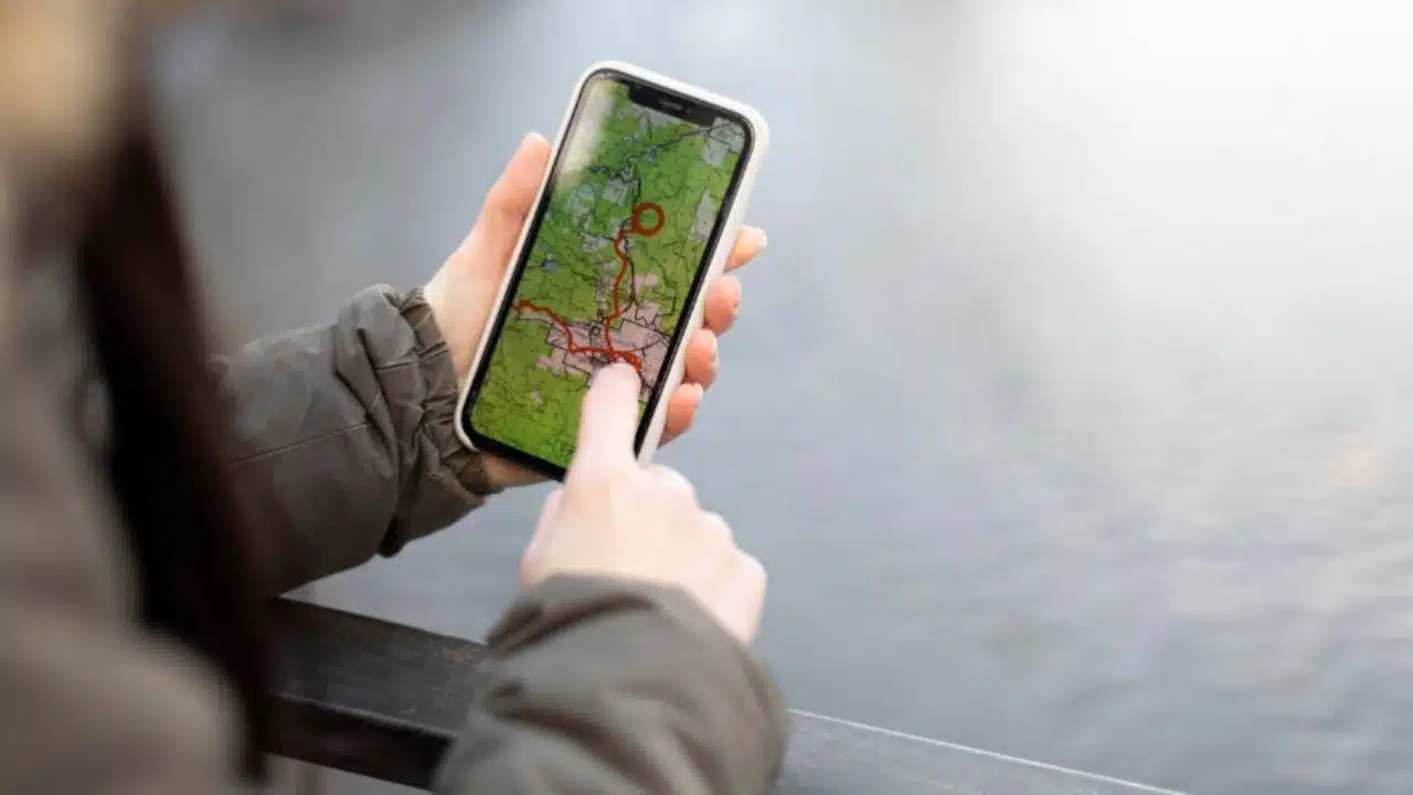
Smartphones have evolved into essential tools for modern navigation, especially in the marine and boating world. No longer limited to making calls or sending texts, today’s smartphones serve as powerful navigation aids, thanks to a wide array of sophisticated mobile applications. These apps combine GPS, real-time data, and digital charting to deliver functionalities once limited to expensive onboard systems. Among the most prominent apps in this realm are C-MAP, Navionics, Savvy Navvy, Seapilot, iSailor, and iNavX. Each of these applications brings unique features that cater to both recreational and professional navigators such as the professional skippers in the luxury yacht charter Ibiza framework.
C-MAP: Global Mapping with Real-Time Data
C-MAP has earned a strong reputation for offering highly detailed nautical charts. Originally a provider of electronic charts for marine chartplotters, C-MAP has adapted its products for mobile use with its C-MAP App. This app offers offline chart access, custom route planning, autorouting, and weather updates. It is particularly valuable for offshore sailors due to its integration of AIS (Automatic Identification System) data, which displays nearby vessel traffic. One of C-MAP’s standout features is its weather overlay system, showing wind speed, sea temperature, and wave heights. The app’s intuitive interface and extensive chart coverage make it a favorite among sailors seeking precision and reliability.
Navionics, now owned by Garmin, is often considered the industry standard for mobile marine navigation. Its app, Navionics Boating, provides extensive chart data, including bathymetry, coastal contours, and port information. What sets Navionics apart is its user-driven content, known as “Community Edits.” Users can update chart information and share local knowledge in real time. Additionally, the app features advanced autorouting, allowing users to input their vessel specs and automatically generate safe passages. Navionics also excels in sonar charting, letting users upload sonar logs to build custom depth charts. This makes the app particularly useful for anglers and shallow-water explorers.
Launched with the goal of simplifying navigation, Savvy Navvy has quickly gained popularity as the “Google Maps for the sea.” Unlike traditional navigation apps that require some expertise, Savvy Navvy focuses on user-friendliness. It offers an all-in-one platform combining tide data, weather forecasts, and route planning. Users can create routes based on wind conditions, tides, and even fuel usage. Its minimalist interface and easy-to-read charts appeal to new boaters, while its predictive routing engine makes it valuable for experienced sailors. The app also integrates seamlessly with mobile and tablet devices, ensuring accessibility across platforms.
Developed in Sweden, Seapilot is tailored for serious sailors and racers. The app incorporates features used in commercial and professional maritime navigation, including support for S-57 and S-63 chart formats. Seapilot is one of the few apps that offers fully functional AIS tracking in real time, which is essential for offshore racing and crowded waterways. It also provides route optimization tools and weather overlays, offering a complete navigation suite. Seapilot’s professional-grade tools and clean user interface make it a strong choice for users who require precision and control.
iSailor: Charting for the Tech-Savvy Mariner
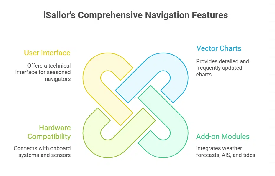
iSailor, developed by Transas (a Wärtsilä company), brings a highly customizable approach to mobile navigation. The app offers vector charts that are frequently updated and allows for the integration of add-on modules, such as weather forecasts, AIS, and tides. One of iSailor’s major strengths is its compatibility with third-party hardware, allowing it to connect with onboard navigation systems, autopilots, and sensors. This makes it a solid option for tech-savvy mariners and commercial vessels looking for an affordable yet robust solution. Its interface, while slightly more technical, provides a depth of information ideal for seasoned navigators.
iNavX is a powerhouse in marine navigation apps, particularly popular among U.S. sailors for its compatibility with NOAA raster charts. Unlike vector-based apps, iNavX provides paper-chart-style visuals, which many traditional sailors prefer. It supports a wide variety of third-party chart sources, including Navionics and Blue Latitude. The app is also notable for its connectivity features: it can integrate with external GPS receivers, AIS transponders, and NMEA data streams. For offshore sailors, this means iNavX can serve as a full navigation console. It even supports GRIB weather overlays, allowing users to plan their journeys based on wind and current predictions.
The migration from traditional chartplotters to mobile navigation has democratized marine navigation. Apps like those mentioned not only reduce the cost of entry but also improve safety, accessibility, and real-time decision-making. Modern smartphones equipped with GPS, gyroscopes, and cellular connectivity enable users to download charts, receive weather alerts, and track vessel positions with pinpoint accuracy. Furthermore, the portability of smartphones means navigation tools are always on hand, whether on deck, in the cabin, or ashore.
Despite their benefits, smartphone navigation apps are not without challenges. Battery life, screen size, and water exposure are practical concerns, particularly during extended voyages. It is also critical to ensure charts are downloaded for offline use, as signal availability may vary at sea. Redundancy remains essential; experienced navigators often use these apps in tandem with traditional paper charts or standalone GPS devices as backups.
Smartphone navigation apps have revolutionized the way mariners approach route planning, real-time navigation, and data visualization. With options like C-MAP, Navionics, Savvy Navvy, Seapilot, iSailor, and iNavX, sailors today have access to powerful tools that can fit in their pocket. These applications offer diverse features tailored to different skill levels and sailing needs. Whether you’re a weekend cruiser, an offshore racer, or a professional mariner, there’s a mobile navigation app that can enhance your time on the water and improve your overall navigational safety and efficiency.