
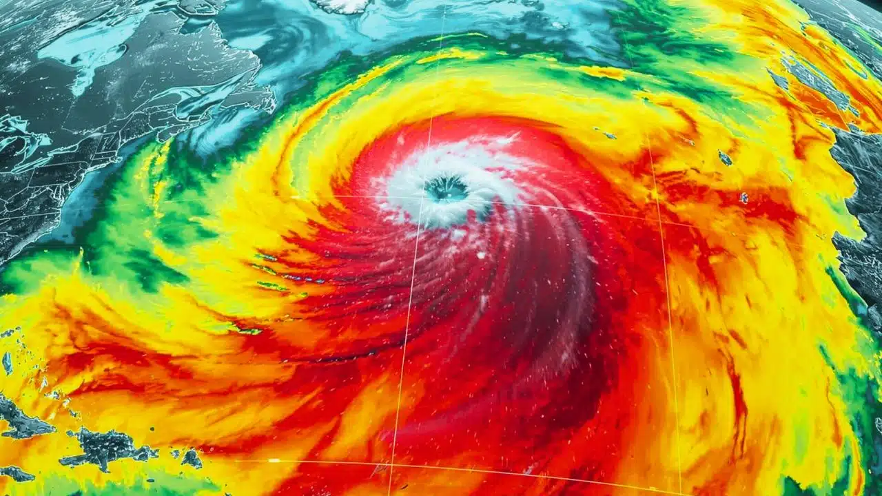
NASA’s Surface Water and Ocean Topography (SWOT) satellite has captured the first detailed, high‑resolution view of a giant Pacific tsunami from space, offering scientists a game‑changing look at how these deadly waves actually move across the ocean. Researchers say the observation could sharply improve future tsunami models and, ultimately, coastal warning systems around the world.
NASA’s breakthrough tsunami image
The unprecedented image was recorded in late July 2025, when a magnitude 8.8 earthquake ruptured the Kuril–Kamchatka subduction zone off Russia’s Kamchatka Peninsula, launching a basin‑wide tsunami across the Pacific. SWOT happened to pass overhead soon after, mapping a wide swath of the sea surface and capturing the tsunami as it rippled across hundreds of kilometers of open ocean. Instead of the coarse, point‑by‑point data from traditional ocean buoys, the satellite returned a continuous, high‑resolution picture of the wave field in remarkable detail.
A giant wave in unprecedented detail
SWOT measures tiny changes in sea‑surface height, allowing it to detect the vertical rise and fall associated with the passing tsunami even in deep water. In this case, scientists combined the satellite’s measurements with readings from three Deep‑ocean Assessment and Reporting of Tsunamis (DART) buoys, creating the most complete reconstruction yet of how a major tsunami evolves as it travels. The resulting map revealed a complex, braided pattern of energy, with the main wave and trailing fronts interacting with underwater topography and spreading in unexpected ways.
Challenging long‑held tsunami assumptions
For decades, many models treated large, ocean‑crossing tsunamis as non‑dispersive waves that stay bundled as a single, coherent pulse as they race across the sea. The new SWOT data instead show the Kamchatka tsunami breaking into a dominant leading wave followed by smaller, scattered waves, revealing that dispersion plays a much bigger role than previously assumed for great events. When researchers reran numerical simulations that included dispersive effects, those models matched the satellite’s observed pattern far better than older, simplified approaches.
Rewriting hazard models and risk maps
Because tsunami forecasts feed directly into evacuation decisions and hazard maps, the newfound complexity has immediate practical implications. If energy is redistributed into multiple waves arriving at slightly different times and intensities, that can change how strongly different stretches of coastline are hit and how long dangerous conditions persist. Scientists involved in the work say the Kamchatka event is already driving updates to source models and forcing a rethink of how far and how fast rupture zones extend along major subduction margins.
From stunning images to faster warnings
NASA officials describe SWOT as a new kind of eyes in the sky for rare ocean disasters, with its wide, 120‑kilometer swath offering a broader and sharper picture than any previous satellite altimeter. In parallel, the same Kamchatka tsunami also tested NASA’s experimental GUARDIAN system, which reads subtle disturbances in Earth’s upper atmosphere from GPS signals to flag tsunamis in near real time, sometimes 30 to 40 minutes before waves reach distant shores. Together, detailed images from SWOT and rapid alerts from GUARDIAN point toward a future in which tsunamis are tracked from space with far greater accuracy and speed, buying crucial minutes that could save lives in vulnerable coastal communities.