
In a historic achievement, the NASA-ISRO Synthetic Aperture Radar (NISAR) satellite successfully launched into space on Wednesday, July 30, 2025, from the Satish Dhawan Space Centre located on India’s southeastern coast. The satellite marks the first-ever joint Earth-observing mission between the United States’ NASA and India’s ISRO (Indian Space Research Organisation).
NISAR is the world’s first radar satellite designed to precisely measure extremely small movements on Earth’s surface. By tracking shifts as slight as a few millimeters, it aims to provide unprecedented data to help humanity better understand and respond to natural disasters, climate change, and environmental shifts across the planet.
What Makes NISAR Unique: Dual-Frequency Radar Technology
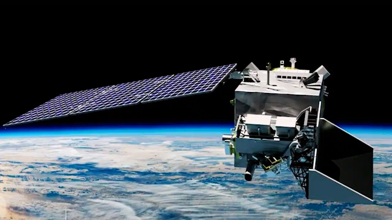
NISAR carries two powerful radar systems—one provided by NASA and the other by ISRO—mounted on a satellite roughly the length of a pickup truck. These radar instruments use microwave signals to scan Earth’s surface. Unlike optical instruments, radar can penetrate through clouds, darkness, smoke, and rain, making it an ideal solution for continuous, all-weather monitoring.
The satellite’s radar operates in two frequency bands:
-
L-band radar (25 cm wavelength): Developed by NASA’s Jet Propulsion Laboratory (JPL) in California, this system can detect deeper changes beneath forests and thick vegetation.
-
S-band radar (10 cm wavelength): Supplied by ISRO, this shorter wavelength captures surface-level features such as crop growth and soil texture.
By combining these two systems, NISAR offers a comprehensive, multi-scale perspective that no single radar system could provide alone.
Global Coverage and Resolution: Scanning Earth with Unmatched Precision
Once fully operational in its sun-synchronous polar orbit, NISAR will orbit Earth 14 times per day, capturing repeated scans of nearly the entire planet. Every 12 days, it will revisit most of Earth’s land and ice-covered regions at high spatial resolution, capable of detecting surface movements as small as 1 centimeter.
This extraordinary sensitivity makes NISAR the most advanced Earth-observation radar satellite to date. It is designed to track:
-
Land deformation from earthquakes and volcanoes
-
Glacier and ice sheet movements
-
Wetland and permafrost changes
-
Forest structure and deforestation
-
Crop and soil moisture dynamics
-
Infrastructure shifts such as dam cracking or levee displacement
Such fine-resolution data will be critical for monitoring geological hazards, managing agricultural productivity, and planning climate resilience strategies.
Real-World Benefits: Early Warnings for Natural Disasters
NISAR is expected to play a crucial role in natural disaster preparedness and emergency response. By detecting subtle shifts in Earth’s crust, it could provide early indications of:
-
Impending earthquakes by identifying stress build-up zones
-
Landslides through the detection of slow ground movement
-
Volcanic eruptions by tracking magma-induced deformation
-
Flooding risks from terrain elevation shifts and water accumulation
Its radar can also monitor areas recently impacted by hurricanes, wildfires, or tsunamis—offering essential data to assess damage, plan relief, and rebuild infrastructure more effectively.
Critically, all data from NISAR will be made publicly available in near real-time, allowing governments, scientists, NGOs, and even citizen scientists to utilize the information for both research and action.
A True Technological Collaboration Between Two Nations
The NISAR mission is the result of a decade-long partnership between NASA and ISRO. Discussions began after the 2007 National Academy of Sciences decadal survey, which prioritized Earth observation missions. The official agreement between the two space agencies was signed on September 30, 2014, with both sides agreeing to equally share development responsibilities and scientific goals.
NASA’s Contributions:
-
Developed the L-band radar system
-
Provided the large radar reflector antenna
-
Designed and built the deployable boom and communication subsystems
-
Managed overall radar payload integration
ISRO’s Contributions:
-
Supplied the S-band radar system
-
Designed and built the satellite body (bus)
-
Provided the GSLV-F16 launch vehicle
-
Supplied launch services and ground tracking infrastructure
-
Developed calibration systems and scientific algorithms
This 50/50 partnership spanned over 9,000 miles and required cross-continent hardware integration and international coordination across 13 time zones. Engineers and scientists from both agencies conducted numerous joint testing sessions and technical exchanges to ensure the systems were fully compatible.
Building Across Borders: Overcoming Distance and a Pandemic
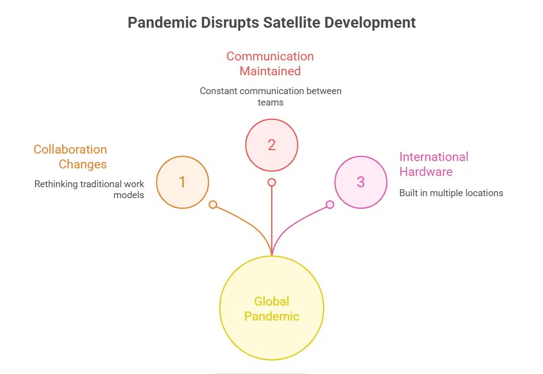
Developing a satellite of this scale during a global pandemic presented unique logistical and engineering challenges. Travel restrictions, remote working, and supply chain disruptions forced teams to rethink traditional collaboration models.
Despite these hurdles, engineers from JPL in Pasadena and ISRO facilities in Bengaluru maintained constant communication. The hardware for the satellite was built in multiple international locations before being assembled and tested together in India.
NASA’s deputy project manager for NISAR reportedly made more than 25 trips to India, spending over 150 days working directly with ISRO teams over the last two years alone. These efforts exemplify not only scientific cooperation but also the deep mutual respect and trust between the two agencies.
India’s Global Vision: Science in Service of Humanity
The Indian government sees NISAR as a shining example of how science diplomacy can help address the world’s most urgent environmental challenges. Aligned with Prime Minister Narendra Modi’s vision of India as a “Vishwa Bandhu” or “friend of the world,” the mission demonstrates how international collaboration can lead to transformative impact.
India’s Minister of Science and Technology stated that NISAR will benefit not just the United States and India, but every country affected by natural hazards or climate shifts. From monitoring rice fields in Southeast Asia to tracking glacier loss in the Arctic, the satellite will provide timely and actionable data for global use.
What Comes Next: Mission Timeline and Scientific Goals
NISAR is designed to operate for at least three years, with potential mission extensions depending on system health and budget continuity. The satellite will begin transmitting operational science data within weeks of launch, with regular data releases following shortly after processing.
In addition to daily Earth scans, NISAR will conduct targeted observations of high-priority regions, including:
-
The Himalayas (for landslides and glacial melt)
-
California and Japan (for tectonic fault movement)
-
The Amazon and Congo Basins (for deforestation monitoring)
-
Coastal deltas (for flooding and agricultural analysis)
These measurements will feed into global climate models, disaster risk models, and Earth system science databases maintained by NASA, ISRO, and their research partners.
A Global Leap Forward in Earth Observation
With the successful launch of NISAR, the world now has access to high-resolution, all-weather, day-and-night radar imaging of the planet at a scale and frequency never seen before. This mission sets a new global standard for Earth observation, environmental tracking, and disaster readiness.
NISAR stands not just as a technological achievement but also as a powerful symbol of scientific collaboration between two major spacefaring nations—working together to better understand and protect the only planet we call home.
Let me know if you’d like a share-ready social media summary, SEO metadata, or infographic for educational or promotional use.